Ottawa consists of 23 unique districts, each characterized by its own distinct style. Some neighborhoods are more conducive to comfortable living, others to career opportunities, and some are more appealing to young people.
Ottawa Future delves deeper into the development and history of these districts.
Old City
The Old City of Ottawa consists of several areas, including:
- Central Ottawa, known for the ByWard Market, the Golden Triangle, and more;
- East End, which includes Rockcliffe Park, Manor Park, and others;
- South End, home to Confederation Heights, Mooney’s Bay Park, Riverside Park, and more;
- West End, featuring Central Park, Woodpark, and Rideau View, among others.
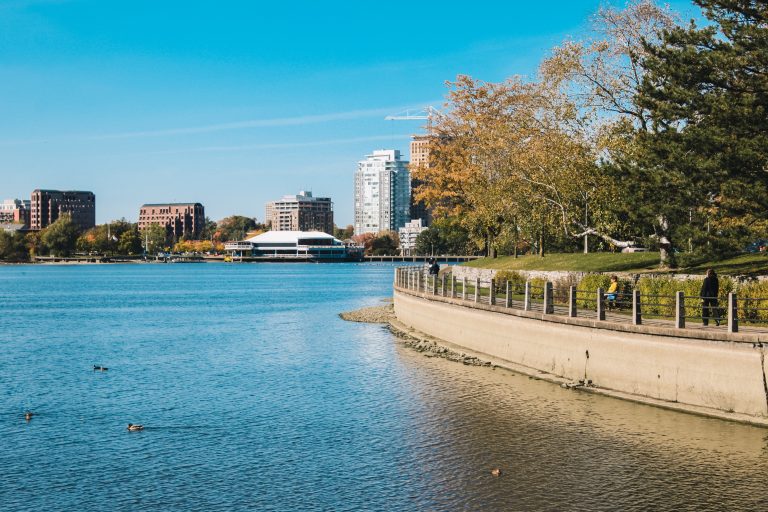
How South Old Ottawa Developed
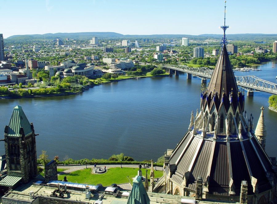
Five city parks are located around the Rideau River (Windsor, Brighton, Brewer, Osborne, Linda Thom), along with two swimming beaches (Brighton Beach and Brewer Beach). The first inhabitants of the Old City area were the Algonquins, who called themselves “the people of the Great River,” referring to the Ottawa River. After them came French explorers, followed by fur traders. Interest in the region only grew, particularly at the end of the 1700s.
The key phases of development in this district can be outlined as follows:
- 1800-1872: Rural settlements emerged during this period, studied by John Stegman. In 1814, the first settlers arrived, and by 1827, the landscape began to change, particularly with the construction of the Rideau Canal. The city’s population increased fivefold.
- 1872-1920: Suburban growth became the hallmark of this era. For example, Rideauville developed faster than other parts of South Ottawa, though the lack of convenient public transportation initially slowed development. In 1912, a bridge was built, followed by the first electric streetcar line. The First World War slowed development, but progress resumed after the 1920s.
- Post-1920: Consolidation and maturation occurred. Many homes were damaged during World War II, but reconstruction followed. By the 1970s, a dam system was built to reinforce the banks of the Rideau River. Empty spaces disappeared, as houses filled the available land, allowing the old and new to coexist harmoniously.
Gloucester
Surrounding the eastern part of the city, Gloucester was an independent town until it merged with Ottawa in 2001. It was founded in 1792, with the first known settler, Braddish Billings, arriving in 1812. The town was named after Prince William Frederick, Duke of Gloucester and Edinburgh, a member of the British royal family.
Initially a heavily forested area, much of the land was cleared by the 1830s. Today, about 40% of the land is controlled by the federal government, including the Macdonald-Cartier International Airport.
Kanata
Kanata was an independent city from 1978 until 2001 when it became part of Ottawa. Located west of the Ottawa Greenbelt, it was developed by William Teron in 1964. His vision was to create homes within rural communities separated from the city by natural landscapes.
The area became a center for high-tech research and development in the 1970s, with 120 hectares designated for this purpose. One notable example is Mitel Corp, and the nearby Hamnett Pinhey estate, which has been converted into a museum.
Nepean
Named after Sir Evan Nepean, the area saw its first permanent settler in 1810. The construction of the Rideau Canal spurred development, and between 1889 and 1959, portions of Nepean were annexed by Ottawa, reducing its size.
Nepean became popular for suburban living, and today, it is home to six industrial business parks along the Rideau River. The area officially merged with Ottawa in 2001, and it is also where the headquarters of Algonquin College of Applied Arts and Technology is located.
Cumberland
Cumberland, established in 1802, was initially known as Fuberville and later as Osborne before being renamed Cumberland in 1864. By the late 1890s, the area thrived due to its mills, factories, and trade. It was annexed into Ottawa in 2001, with the district bordered by regional and colonial roads.
Goulbourn
Founded in 1818, Goulbourn lies approximately 20 km southwest of Ottawa’s core. Richmond was the first major settlement, and Stittsville was the largest community. In 2001, Goulbourn became a district of Ottawa. The area is named after Henry Goulbourn, the Under-Secretary of State for War and the Colonies from 1812 to 1826.
Osgoode Township
This township, founded in 1798 along the Rideau River, became an independent township in 1850 and joined Ottawa in 2001. It is named after William Osgoode, the first Chief Justice of Upper Canada. Early settlers were attracted by the fertile land and stands of white oak and pine.
Rideau
Rideau is a historical township in eastern Ontario, created in 1974 from the merger of Marlborough, North Gower, and Long Island. It became part of Ottawa in 2001.
West Carleton
This township was formed in 1974 from the merger of Fitzroy, Huntley, and Torbolton. In 2001, West Carleton became a district of Ottawa, contributing to the city’s expansion.
Thus, each of Ottawa’s districts is unique, offering its own distinct atmosphere. From bustling business hubs to peaceful residential areas, every community in Ottawa has something special to offer.